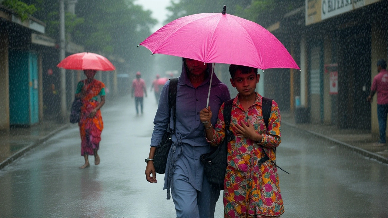
On October 6, 2025, the India Meteorological Department (IMD) rolled out a sweeping set of warnings that could affect millions from the foothills of the Himalayas down to the plains of Punjab and Rajasthan.
Extremely heavy rain — defined as more than 204.4 mm in a 24‑hour period — is now forecast for parts of sub‑Himalayan West Bengal, Sikkim and Meghalaya on October 6, while very heavy rain (115.6‑204.4 mm) looms over Bihar, Arunachal Pradesh and the northern belt of Jammu & Kashmir, Himachal Pradesh, Uttarakhand, Punjab, Haryana and Chandigarh through October 7.
What’s Triggering the Deluge?
The driver behind this maelstrom is a classic Western Disturbance. Since October 4 the system has been active over northeast Afghanistan and adjoining Pakistan, forming a cyclonic circulation 3.1‑5.8 km above mean sea level. A trough aloft in the upper tropospheric westerlies at around 7.6 km is funneling moisture from the Arabian Sea into north‑west India.
“The disturbance has deepened considerably, pulling in moist air that’s now colliding with the Himalayan foothills. That’s why we’re seeing such intense rainfall bands,” explained Dr. Atul Singh, a senior meteorologist at the IMD.
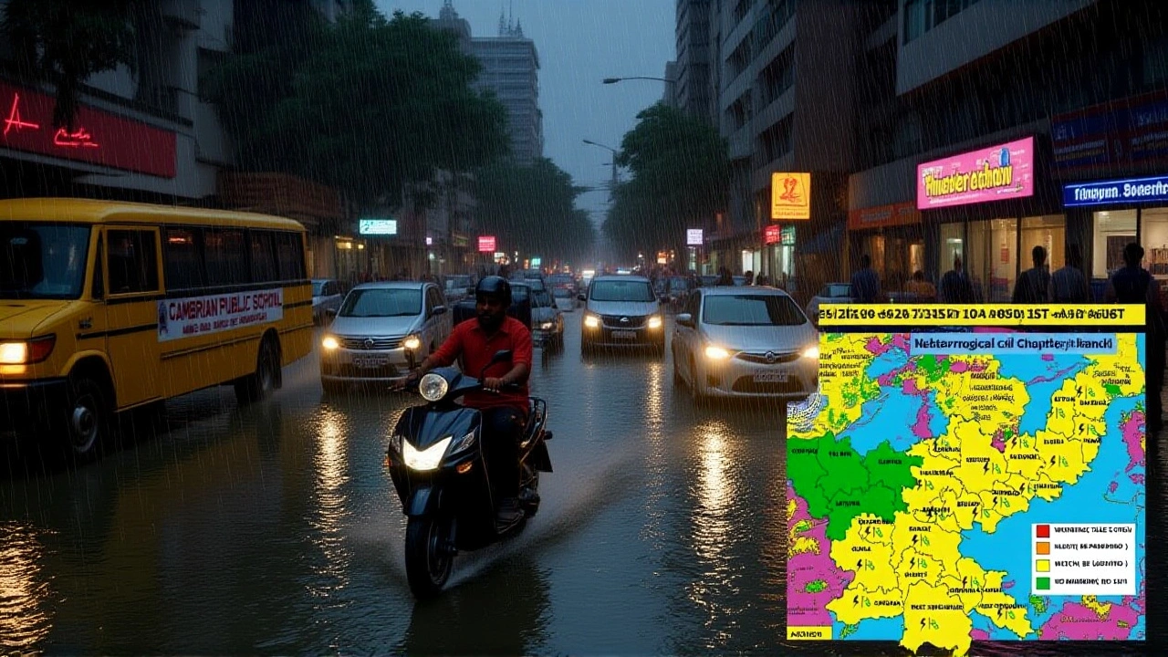
Areas Under Alert
- Extremely heavy rain – West Bengal (sub‑Himalayan), Sikkim, Meghalaya (204.4 mm+).
- Very heavy rain – Bihar, Arunachal Pradesh, Jammu & Kashmir, Himachal Pradesh, Uttarakhand, Punjab, Haryana, Chandigarh (115.6‑204.4 mm).
- Heavy rain – Rajasthan, Delhi‑NCR, West Uttar Pradesh, parts of Karnataka and Telangana (64.5‑115.5 mm).
- Thunderstorms, lightning and gusty winds up to 50 km/h expected across the north‑west belt.
- Isolated hailstorm activity possible in Jammu, Uttarakhand and Delhi on October 6.
In the capital, Delhi, a yellow alert has been issued. Residents woke up to cloudy skies, intermittent downpours and sudden thunder on the night of October 5‑6. The IMD warns of continued heavy showers through the morning of October 7, with gusts that could pile up water on already‑congested roads.
Expert Insight
Dr. Singh underscored that the timing is critical. “We’re at the tail‑end of the monsoon season. This could be the last major rain event before the monsoon retreats completely,” he said. The meteorologist noted that forecast models show a sharp drop in minimum temperatures from October 8 onward, as cold north‑westerly winds sweep in, bringing a 4‑5 °C dip in the northwest.
Other experts, such as climatologist Prof. Meena Rao from the Indian Institute of Tropical Meteorology, point out that 2025 has already seen a “volatile” monsoon pattern, with earlier retreats in the east and delayed onsets in the west. “The Western Disturbance is behaving more aggressively than historical averages. That’s why we’re seeing extreme totals in places like Meghalaya,” Rao observed.
Potential Impacts on Daily Life
Urban planners warn that Delhi’s drainage network, already strained by past floods, may struggle with another round of waterlogging. “Roads around Connaught Place and the Ring Road are likely to choke,” says a senior traffic officer who asked to stay anonymous.
Agricultural districts in Bihar and West Bengal are bracing for crop damage. The 2025 Kharif‑Rabi transition is already challenging for rice farmers, and excessive moisture could erode yields.
Travel advisories have been issued for major highways linking Rajasthan’s Bikaner and Jodhpur divisions, where the IMD has specifically tagged a “heavy rain and storm alert”. Pilots at Delhi’s Indira Gandhi International Airport have been instructed to expect reduced visibility and possible delays.
Health officials are also on alert for vector‑borne diseases, as standing water can boost mosquito breeding. The Ministry of Health recommends clearing stagnant water from households and avoiding outdoor activities during peak storm periods.
Looking Ahead: When Does the Rain End?
The IMD’s latest model suggests the bulk of precipitation will subside by the evening of October 7, with residual showers lingering in the sub‑Himalayan pockets until October 9. After that, the region should see a gradual warming trend, but cold spells could still dominate nights until the first week of October 10.
Authorities urge residents to stay tuned to updates on the IMD’s official website, radio bulletins and mobile alerts. “Don’t underestimate the flash‑flood potential,” Dr. Singh cautioned. “Even a few hours of heavy rain can turn low‑lying streets into rivers.”
Key Facts
- Date of warning: October 6, 2025.
- Primary cause: Western Disturbance over Afghanistan‑Pakistan.
- Peak rainfall: >204.4 mm in Meghalaya, West Bengal (sub‑Himalayan).
- Wind gusts: up to 50 km/h in Delhi‑NCR.
- Temperature dip: 4‑5 °C drop expected Oct 8‑10.
Frequently Asked Questions
How will the heavy rainfall affect commuters in Delhi?
Roads around major intersections, especially the Ring Road and Connaught Place, are likely to flood. Public transport may run on altered schedules, and flights at Indira Gandhi International Airport could face delays. Authorities advise using alternate routes, staying informed via traffic alerts, and avoiding non‑essential travel during the peak of the storm.
Which agricultural regions are most at risk?
Bihar and the Gangetic plains of West Bengal are seeing very heavy rains that could water‑log rice paddies and damage upcoming Rabi crops. In Meghalaya, the excessive precipitation could trigger landslides in tea‑garden districts, affecting both local livelihoods and export yields.
What safety measures does the IMD recommend?
Residents should keep windows and doors closed, avoid low‑lying areas prone to flash flooding, and postpone outdoor activities until the storm passes. It’s also wise to keep emergency supplies – flashlights, batteries, and a small stock of drinking water – handy in case of power outages.
Will the Western Disturbance affect temperatures?
Yes. After the rain eases, north‑west winds will drive temperatures down by about 4‑5 °C across the northwest states between October 8 and 10, providing a noticeable chill compared with the mild early‑October averages.
Is this the last major monsoon event of 2025?
The IMD suggests it could be the final significant rain front before the monsoon fully withdraws, but ongoing climate variability makes exact predictions tricky. Further disturbances may still appear, albeit with lower intensity.

Rohit Chaturvedi
I am Rohit Chaturvedi, a seasoned journalist and content creator with expertise in news, small business, sports, and travel. My passion lies in sharing stories from the rich and diverse Indian landscape, covering everything from local news to cultural insights. As a well-traveled writer, I enjoy exploring unique perspectives on Indian life, highlighting the challenges and triumphs of the people and places I encounter. I take great pride in bringing authentic and engaging narratives to my readers, fostering a deeper understanding of the incredible tapestry that is India.
More Articles

Divyanka Tripathi: From Selling Scrap to ₹75 Crore Net Worth
TV star Divyanka Tripathi reveals her past struggles selling toothpaste tubes for survival. Now worth ₹75 crore, her journey from scrap-selling to super stardom inspires millions.

Pawan Kalyan admits 'envy' over Vijay's rapid Tamil Nadu political rise
Andhra Pradesh Deputy CM Pawan Kalyan admits 'envy' over Thalapathy Vijay's rapid rise to Tamil Nadu CM, contrasting his 15-year grassroots struggle with TVK's swift 2026 victory.

KL Rahul and Athiya Shetty reveal baby daughter’s name Evaarah on his 33rd birthday
KL Rahul and Athiya Shetty revealed their daughter Evaarah Vipula Rahul’s name and first photo on his 33rd birthday, calling her a 'Gift of God'—a quiet, heartfelt moment amid AI-generated fake photos and public scrutiny.